The satellite revolution
Environmental governance from space
In recent years, satellites have revolutionized the monitoring of the planet, providing essential data to design and implement more effective environmental policies. Aligning technological progress with the policy framework is crucial
8 minSpace and environmental governance are now deeply interconnected, a relationship poised to grow even stronger in the coming years. Data provided by Earth Observation satellites has become indispensable for land management, the implementation of environmental policies, and monitoring the exploitation of natural resources. This intersection of environmental stewardship, national security, and economic interest is currently evolving at an unprecedented pace.
The history of satellite use
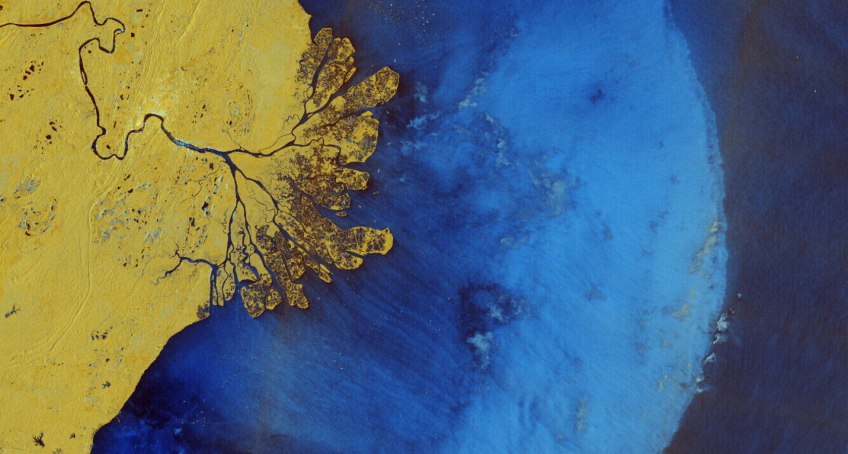
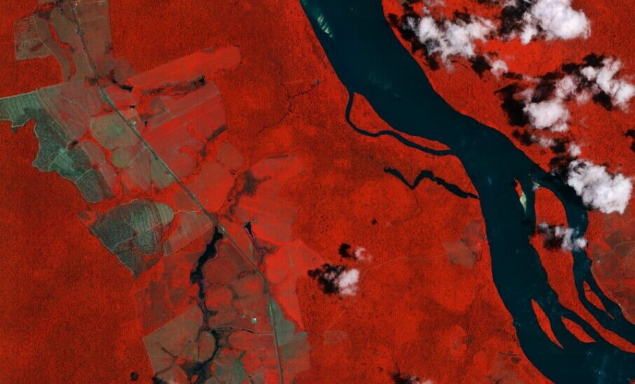
The use of satellites to monitor Earth dates back to the 1970s with the U.S. Landsat program. However, changes over the past decade have radically transformed these applications. The considerable increase in available data, the proliferation of artificial intelligence (AI), and the integration of these systems into national and international policies have maximized their impact. Perhaps the most significant milestone was the deployment of the European Space Agency’s (ESA) Sentinel satellites. This constellation—which as of early 2026 includes the newly operational Sentinel-1D and Sentinel-2C—provides the world's largest volume of publicly available data, covering the entire globe every few days. These are complemented by data from Landsat, national agencies like Italy’s ASI or Japan’s JAXA, and private providers like Planet and Maxar, which are becoming increasingly affordable.
Beyond hardware, software has evolved through the rise of platforms that allow for the integration and analysis of satellite data, making it accessible even to non-specialized users. This is evident in tools like Forest Watcher by the World Resources Institute (WRI), which monitors deforestation and forest health globally. These platforms also offer advanced analytical capabilities, such as the Global Fishing Watch atlas, which uses radar satellite data to identify “dark vessels,” ships that have turned off their mandatory identification systems to avoid detection.
Google Earth Engine further integrates these sources, combining high-resolution data from private providers with free imagery from ESA and Landsat. It is used for a wide range of purposes, from urban land-use planning to global water resource management.
These developments are increasingly reflected in policy. Since the 2019 Green Deal, the European Union has consistently integrated Copernicus data into environmental legislation. Ambitious laws, such as the EU Regulation on Deforestation (EUDR), have been made possible by these capabilities. Although the compliance deadline for large operators was recently adjusted to December 30, 2026, the regulation remains a landmark in satellite-based enforcement. This trend extends globally to countries like Brazil, where agricultural production relies on satellite monitoring, and Indonesia, which frequently utilizes Earth observation data in environmental court cases.
The success of this model stems from the extraordinary contribution of satellites to environmental management compared to traditional methods. Satellites allow historical activities to be carried out faster and at lower cost, while also enabling results that were previously impossible. Established methodologies can scan vast territories to assess agricultural productivity, while tools developed in just the last few years can detect water theft in remote areas where field inspections would be unfeasible.
The advantages are further amplified by AI, which automates complex analytical processes, drastically reducing time and increasing accuracy. With proper training, AI can identify patterns of illegal dumping to alert authorities or determine the exact amount of pesticides used on a field to verify if a farmer qualifies for sustainable production subsidies.
Finally, satellite inspections do not require prior authorization, enabling the simultaneous monitoring of multiple activities without violating privacy rules. The United Nations Office on Drugs and Crime (UNODC) regularly scans the Colombian Amazon to identify illegal mining, coca cultivation, and deforestation concurrently. This monitoring also has a preventive effect: some tools can detect early signs of unauthorized construction, allowing for timely intervention, while the simple awareness of being monitored tends to reduce environmental crimes overall.
How data influence policy decisions
The interaction between satellite data and environmental governance produces distinct outcomes depending on the policy stage, whether during the initial design phase or throughout implementation and enforcement. Satellites primarily provide comprehensive, in-depth knowledge of entire territories and complex value chains. This granular visibility directly influences the quality of policy-making: an agricultural subsidy system backed by robust Earth observation capabilities can be far more sophisticated and effective because it operates on a precise, data-driven information framework.
For example, the awareness that a significant portion of rare earth elements from Southeast Asia originates from illegal mining (a finding supported by satellite analysis from NGOs like Global Witness) is driving efforts by entities like the EU to diversify toward more transparent, less risky supply chains. Simultaneously, satellites provide the empirical data necessary to evaluate policy efficacy. Assessing the health of protected areas under the European Natura 2000 program or analyzing the long-term environmental footprint of large-scale infrastructure projects are prominent examples of this evaluative power.
A major turning point for global climate action is on the horizon with the launch of new missions specifically designed to measure CO2 emissions, mirroring what is already possible for methane. Among all sectors, the combat against environmental crime and the enforcement of ecological standards benefit from some of the most advanced and rapidly developing applications in the space industry.
Limitations and the need for systematic integration
Despite this positive outlook, several limitations remain. Some are technical: certain applications require very high-resolution data (where 1 pixel represents 60 centimeters or less), which can be costly or scarce. Furthermore, some regions of the world, particularly in the tropics, experience frequent cloud cover that limits the use of optical data, which are currently the most widely available.
The main challenges, however, concern the structural integration of Earth observation into environmental governance. Most applications are still used on a case-by-case basis for specific initiatives, lacking the consistency of a medium- to long-term perspective. Limited technical expertise within agencies, low awareness of the tools’ accessibility, and the absence of overarching policies mandating their use all constrain their adoption and continuity.
When systematic integration does occur, the results are clear. In 2020, Costa Rica mandated the use of satellite data in all administrative environmental cases; its application in fisheries management alone has yielded significant savings in inspection and management costs. Similar success stories include Brazil’s Real-time Deforestation Detection (DETER) system and the monitoring of agricultural land by local administrations in Flanders.
The ongoing expansion of this technology will make integration even easier in the coming years, fueled by advances in AI and the expansion of space missions, especially the Sentinel satellites within the European Copernicus program. However, such integration will also become increasingly necessary. Aligning technological progress with policy frameworks is a priority that all global actors, starting with the EU, must address immediately to avoid being left unprepared by the pace of innovation.